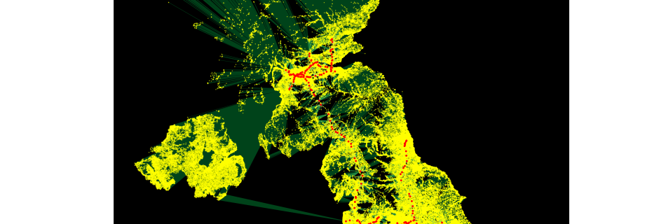
How far is it to the nearest train station?
In a previous post I collected lots of different public data sources, imported them into python, made geopandas dataframes and made some simple maps. I now want to start some calculations. I’ve got some questions I want to answer. The first being For any postcode in the UK, how far is it to the nearest …
