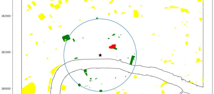
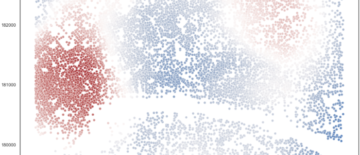
Mapping Environment Agency flood data from their API using Python to find at-risk postcodes

Given the recent storms and floods it seemed a good time to try something slightly new in python, calling an API. Specifically, I want to be able to call the Environment Agency flood warning API then map all areas with a flood warning and then extract a list of postcodes within those flood areas. Code …

Spatial Smoothing using Network Analysis – Implementation

My previous post, network analysis and spatial smoothing, I investigated how to use NetworkX functions in python for potential use in spatial smoothing. In this post I’ll actually go over an example of the code being used to smooth average house price data across London. The code for this investigation is here The area being …

Network Analysis and Spatial Smoothing

In my last post I introduced the concept of using network analysis for use on Road data. In another post I looked at using pygeos to spatially smooth data. This time I’ll be combining network analysis and spatial smoothing. The Problem Using distance related spatial smoothing, whether this is using kernel density or count/average within …

Generalising density functions using pygeos STRtree

In my post calculating spatial density in python generated three functions to generate different types of density measure. And in another post I tested the speeds of different nearest neighbour algorithms. These functions work, but onld for for point based geometries. In this post I’ll look at a more generalised set of functions to generate …

Mapping Historic Met Office Data in Python

I recently discovered that the Met office publish historic HADUK datasets about historic weather patterns for the whole of the UK. They share a number of different types of weather data: Snow, rainfall, temperature…etc. at a lot of different scales: annual, seasonal, monthly, daily. I wanted to see what this data looks like in maps …